Expect a milder winter in Rhode Island this year, according to a federal weather report.
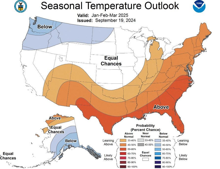
The National Oceanic and Atmospheric Administration’s winter forecast says there is a near 50/50 chance that Rhode Island, along with the majority of New England, is leaning toward being warmer than it usually is in the months of December, January and February.
Last year, Rhode Island was also predicted to have a warmer than average winter by NOAA, as it faced its first El Niño winter in years. This year La Niña is predicted to drive the weather pattern this winter.
The forecasters’ discussion said that there is a 71% chance that La Niña could emerge from September to November, with said likelihood continuing into January through March of 2025.

What’s the NOAA forecast for Rhode Island this fall?

A NOAA forecast also found that Rhode Island, as well as the rest of New England, is leaning toward having above normal levels of rain for the remainder of the season, with a 33% to 40% likelihood in October, November and December.
The forecast says that there is a 50% to 60% chance that Rhode Island will likely have above average temperatures this fall.

What is La Niña?
La Nina, which means “little girl” in Spanish, is a weather pattern that can impact winter temperatures, according to NOAA.
“During La Niña events, trade winds are even stronger than usual, pushing more warm water toward Asia,” NOAA stated. “Off the west coast of the Americas, upwelling increases, bringing cold, nutrient-rich water to the surface…These cold waters in the Pacific push the jet stream northward.”
Because cold waters in the Pacific push the jet stream northward during La Niña, more droughts can occur in the southern U.S. with heavy rains and flooding occurring at the same time in the Pacific Northwest and Canada.
“Winter temperatures are warmer than normal in the south and cooler than normal in the north” part of the U.S. when La Nina is active, NOAA stated.
Seth Jacobson contributed to this report.
Rin Velasco is a trending reporter. She can be reached at rvelasco@gannett.com.
This article originally appeared on The Providence Journal: NOAA 2024-25 winter forecast maps show what to expect in Rhode Island